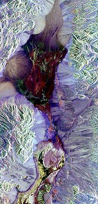
Photo from wikipedia
Abstract The soil ripening process can be defined as change in the soil/sediment matrix from exposure to air in previously inundated areas. Early pedogenesis crystalline iron oxide is one of… Click to show full abstract
Abstract The soil ripening process can be defined as change in the soil/sediment matrix from exposure to air in previously inundated areas. Early pedogenesis crystalline iron oxide is one of the most important diagnostic criteria to monitor the aforementioned process. In this study, the east shore of the shrinking Urmia Lake located in the north west of Iran was selected for investigation. This article aims to express the importance of advanced digital soil mapping to link between a difficult-to-measure soil attribute (i.e. crystalline iron oxides) and remotely sensed data as easy-to-measure variables. Additionally, the spatial distribution of clay and soil total iron density was also assessed. In this article, both Landsat 8 and Landsat 7 imagery were acquired for July 2017 and 1999 respectively. Eighteen remotely sensed data (environmental covariates) were employed for analysis, and a bootstrapping method was used to analyze the associated uncertainty of the created maps. Three data mining techniques namely; multiple linear regression, decision tree modeling and Cubist modeling were candidate models for mapping the target variables across the study area. Regarding optimality, a multiple linear regression model was fitted to predict clay content, while a Cubist model was fitted to predict both soil total iron density (SFeD) and crystalline iron oxide (Fecrys). From the summary output, spectral bands in the visible region did not predict SFeD as strongly as that found for Fecrys. As we expected, Fecrys content increases with increasing the distance from the shore. This means that the ripened soils have been established far from the water body.
Journal Title: Geoderma
Year Published: 2019
Link to full text (if available)
Share on Social Media: Sign Up to like & get
recommendations!