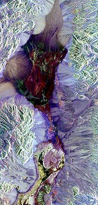
Photo from wikipedia
The development of Earth observation and navigation technology has enriched the methods and means of remote sensing data acquisition. With the increase in the data sources, data volume and data… Click to show full abstract
The development of Earth observation and navigation technology has enriched the methods and means of remote sensing data acquisition. With the increase in the data sources, data volume and data velocity, multi-disciplinary studies can use remote sensing data to solve problems in their individual fields, which, however, increases the heterogeneity of multi-source data and the complexity of multi-domain models. In this paper, we propose a Web-based framework of integrated data and models that allows the horizontal extension of the corresponding systems and effectively addresses the heterogeneity of the integration of multi-source data services and the complexity of multi-disciplinary model services. The interoperability of multi-disciplinary models becomes feasible with a unified interface design and Web service construction for interdisciplinary models. Moreover, a global unified geographic location framework and an active data service based on GeoHash optimized storage are designed to enable fast data retrieval and on-demand active service, which effectively solves the problem of the multi-source heterogeneity of remote sensing data. Ultimately, a global multi-source remote sensing data processing and production system with integrated data and models is implemented.
Journal Title: IEEE Access
Year Published: 2020
Link to full text (if available)
Share on Social Media: Sign Up to like & get
recommendations!