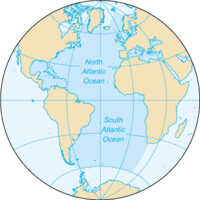
Photo from wikipedia
AbstractThe vision of ocean circulation as highly variable and unstable flows generating and re-integrating mesoscale ocean eddies within their surroundings has come into focus over the past several decades based… Click to show full abstract
AbstractThe vision of ocean circulation as highly variable and unstable flows generating and re-integrating mesoscale ocean eddies within their surroundings has come into focus over the past several decades based on satellite images and results from eddy-resolving ocean circulation models. Until recently, global ocean climatologies, built as in situ observations mapped onto regular spatial grids, did not reflect this image of ocean circulation because of relatively sparse data coverage. However, in a few key regions of the World Ocean, which are exceptionally data-rich, high-resolution data mapping, as high as one-tenth of a degree, has become feasible as a result of the increased volume of available ocean profile data. These new high-resolution ocean data mappings are now matching the details of thermohaline fields generated in eddy-resolving ocean models and, at the near-surface depths, satellite imagery of the ocean surface. The Northwest Atlantic Regional Ocean Climatology—the most advanced example of...
Journal Title: Bulletin of the American Meteorological Society
Year Published: 2018
Link to full text (if available)
Share on Social Media: Sign Up to like & get
recommendations!