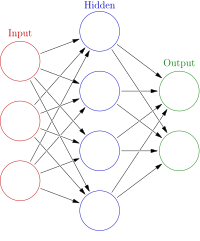
Photo from wikipedia
Land cover monitoring is crucial to understand land transformations at a global, regional and local level, and the development of innovative methodologies is necessary in order to define appropriate policies… Click to show full abstract
Land cover monitoring is crucial to understand land transformations at a global, regional and local level, and the development of innovative methodologies is necessary in order to define appropriate policies and land management practices. Deep learning techniques have recently been demonstrated as a useful method for land cover mapping through the classification of remote sensing imagery. This research aims to test and compare the predictive models created using the convolutional neural networks (CNNs) VGG16, DenseNet121 and ResNet50 on multitemporal and single-date Sentinel-2 satellite data. The most promising model was the VGG16 both with single-date and multi-temporal images, which reach an overall accuracy of 71% and which was used to produce an automatically generated EAGLE-compliant land cover map of Rome for 2019. The methodology is part of the land mapping activities of ISPRA and exploits its main products as input and support data. In this sense, it is a first attempt to develop a high-update-frequency land cover classification tool for dynamic areas to be integrated in the framework of the ISPRA monitoring activities for the Italian territory.
Journal Title: Land
Year Published: 2023
Link to full text (if available)
Share on Social Media: Sign Up to like & get
recommendations!