
Can inpainting improve digital terrain analysis? Comparing techniques for void filling, surface reconstruction and geomorphometric analyses
Sign Up to like & getrecommendations! Published in 2020 at "Earth Surface Processes and Landforms"
DOI: 10.1002/esp.4739
Abstract: The investigation of form and processes in geomorphology and ecology is highly dependent on topographic data: a reliable digital terrain representation is in fact a key issue across environmental and earth sciences. In many cases,… read more here.
Keywords: digital terrain; methodology; surface; void filling ... See more keywords

A method for estimating sediment budgets of washover deposits using digital terrain models
Sign Up to like & getrecommendations! Published in 2021 at "Earth Surface Processes and Landforms"
DOI: 10.1002/esp.5066
Abstract: Washover fans are located on small barriers in fetch‐limited micro‐tidal coastal environments in Denmark. These washover fans are formed during high‐energy storm events and we present a method to quantify their volumes and to estimate… read more here.
Keywords: digital terrain; analysis; washover fans; sediment budgets ... See more keywords

Spatial analysis of hillfort locations in the Chełmno Land (Poland) using digital terrain analysis and stochastic data exploration
Sign Up to like & getrecommendations! Published in 2021 at "Journal of Archaeological Science: Reports"
DOI: 10.1016/j.jasrep.2021.103170
Abstract: Abstract The location of hillforts is an extremely important issue in terms of understanding the functioning of the Middle Ages community. The multifaceted nature of hillfort localization factors requires an interdisciplinary approach. In this study… read more here.
Keywords: hillfort locations; analysis; terrain analysis; hillfort ... See more keywords
A New South Polar Digital Terrain Model of Mars from the High-Resolution Stereo Camera (HRSC) onboard the ESA Mars Express
Sign Up to like & getrecommendations! Published in 2019 at "Planetary and Space Science"
DOI: 10.1016/j.pss.2019.02.010
Abstract: Abstract The first high-resolution Digital Terrain Model (DTM) of the entire South Pole of Mars has been produced. A modified version (Kim and Muller, 2009) of a NASA-VICAR-based pipeline developed by DLR (German Aerospace Centre)… read more here.
Keywords: resolution; high resolution; terrain model; digital terrain ... See more keywords
Developing 5 m resolution canopy height and digital terrain models from WorldView and ArcticDEM data
Sign Up to like & getrecommendations! Published in 2018 at "Remote Sensing of Environment"
DOI: 10.1016/j.rse.2018.09.010
Abstract: Abstract Digital terrain models (DTMs) and vegetation canopy height models (CHMs) are used in a wide range of earth and environmental sciences. An increasing number of CHM products are available from active, passive, and photogrammetric… read more here.
Keywords: resolution; digital terrain; terrain models; canopy height ... See more keywords

A New Digital Terrain Model of the Huygens Landing Site on Saturn's Largest Moon, Titan
Sign Up to like & getrecommendations! Published in 2020 at "Earth and Space Science"
DOI: 10.1029/2020ea001127
Abstract: River valleys have been observed on Titan at all latitudes by the Cassini‐Huygens mission. Just like water on Earth, liquid methane carves into the substrate to form a complex network of rivers, particularly stunning in… read more here.
Keywords: landing site; huygens landing; model; terrain model ... See more keywords

Reduction of measurement data before Digital Terrain Model generation vs. DTM generalisation
Sign Up to like & getrecommendations! Published in 2019 at "Survey Review"
DOI: 10.1080/00396265.2018.1474685
Abstract: Modern data-acquisition technologies provide large datasets. Such datasets are often cumbersome for rational processing, and their processing is time consuming. Therefore, there are several methods that can enable the reduction of the dataset size. One… read more here.
Keywords: reduction; generalisation; terrain model; digital terrain ... See more keywords

Thermophysical modelling for high-resolution digital terrain models
Sign Up to like & getrecommendations! Published in 2018 at "Monthly Notices of the Royal Astronomical Society"
DOI: 10.1093/mnras/sty1009
Abstract: A method is presented for efficiently calculating surface temperatures for highly resolved celestial body shapes. A thorough investigation of the necessary conditions leading to reach model convergence shows that the speed of surface temperature convergence… read more here.
Keywords: modelling high; digital terrain; model; terrain models ... See more keywords

Learning Digital Terrain Models From Point Clouds: ALS2DTM Dataset and Rasterization-Based GAN
Sign Up to like & getrecommendations! Published in 2022 at "IEEE Journal of Selected Topics in Applied Earth Observations and Remote Sensing"
DOI: 10.1109/jstars.2022.3182030
Abstract: Despite the popularity of deep neural networks in various domains, the extraction of digital terrain models (DTMs) from airborne laser scanning (ALS) point clouds is still challenging. This might be due to the lack of… read more here.
Keywords: point clouds; als point; terrain models; digital terrain ... See more keywords

A critical comparison of interpolation techniques for digital terrain modelling in mining
Sign Up to like & getrecommendations! Published in 2023 at "Journal of the Southern African Institute of Mining and Metallurgy"
DOI: 10.17159/2411-9717/2271/2023
Abstract: Digital modelling of a surface is crucial for Earth science and mining applications for many reasons. These days, high-tech digital representations are used to produce a high-fidelity topographic surface in the form of a digital… read more here.
Keywords: interpolation techniques; critical comparison; digital terrain; interpolation ... See more keywords
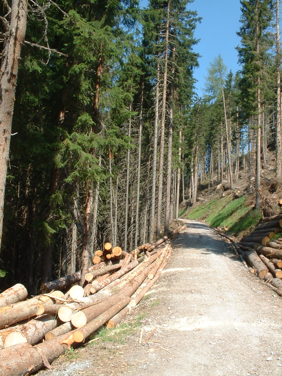
Optimization of digital terrain model for its application in forestry
Sign Up to like & getrecommendations! Published in 2018 at "Journal of forest science"
DOI: 10.17221/4506-jfs
Abstract: Digital terrain model (DTM) represents a very important geospatial data type. In the Czech Republic, the most common digital contour data sources are the Primary Geographic Data Base (ZABAGED), the Digital Ground Model (DMÚ25) and… read more here.
Keywords: terrain; contour data; digital terrain; terrain model ... See more keywords