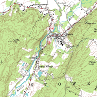
A methodology for producing realistic hill-shading map based on shaded relief map, digital orthophotographic map fusion and IHS transformation
Sign Up to like & getrecommendations! Published in 2021 at "Annals of GIS"
DOI: 10.1080/19475683.2021.1921026
Abstract: ABSTRACT The traditional hill-shading map is usually produced from a digital elevation model (DEM) by using the method of hypsometric tinting, which is capable of demonstrating the changes in geomorphology by setting the colors for… read more here.
Keywords: methodology; digital orthophotographic; shading map; ihs ... See more keywords