
A New South Polar Digital Terrain Model of Mars from the High-Resolution Stereo Camera (HRSC) onboard the ESA Mars Express
Sign Up to like & getrecommendations! Published in 2019 at "Planetary and Space Science"
DOI: 10.1016/j.pss.2019.02.010
Abstract: Abstract The first high-resolution Digital Terrain Model (DTM) of the entire South Pole of Mars has been produced. A modified version (Kim and Muller, 2009) of a NASA-VICAR-based pipeline developed by DLR (German Aerospace Centre)… read more here.
Keywords: resolution; high resolution; terrain model; digital terrain ... See more keywords

A New Digital Terrain Model of the Huygens Landing Site on Saturn's Largest Moon, Titan
Sign Up to like & getrecommendations! Published in 2020 at "Earth and Space Science"
DOI: 10.1029/2020ea001127
Abstract: River valleys have been observed on Titan at all latitudes by the Cassini‐Huygens mission. Just like water on Earth, liquid methane carves into the substrate to form a complex network of rivers, particularly stunning in… read more here.
Keywords: landing site; huygens landing; model; terrain model ... See more keywords

Reduction of measurement data before Digital Terrain Model generation vs. DTM generalisation
Sign Up to like & getrecommendations! Published in 2019 at "Survey Review"
DOI: 10.1080/00396265.2018.1474685
Abstract: Modern data-acquisition technologies provide large datasets. Such datasets are often cumbersome for rational processing, and their processing is time consuming. Therefore, there are several methods that can enable the reduction of the dataset size. One… read more here.
Keywords: reduction; generalisation; terrain model; digital terrain ... See more keywords
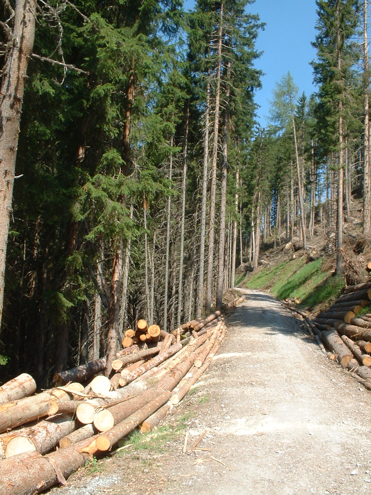
Optimization of digital terrain model for its application in forestry
Sign Up to like & getrecommendations! Published in 2018 at "Journal of forest science"
DOI: 10.17221/4506-jfs
Abstract: Digital terrain model (DTM) represents a very important geospatial data type. In the Czech Republic, the most common digital contour data sources are the Primary Geographic Data Base (ZABAGED), the Digital Ground Model (DMÚ25) and… read more here.
Keywords: terrain; contour data; digital terrain; terrain model ... See more keywords